Background and Overview
The idea for this midwinter ride from Swan Hill to Bendigo came about after our planned Easter cycling trip across New Zealand’s North Island had to be postponed because the need for eye surgery (getting old!). With the longer journey delayed, we looked for a shorter adventure closer to home that could still deliver the sense of travel, challenge and discovery we had been anticipating.
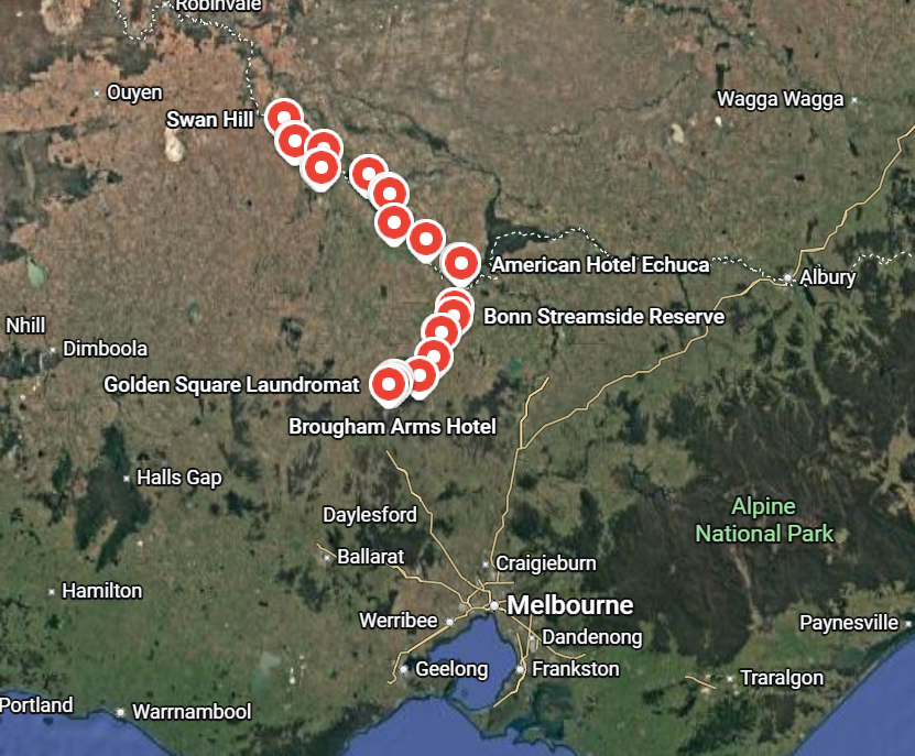
The result was a seven-day winter bikepacking journey through northern Victoria, beginning with a train trip from Melbourne to Swan Hill and continuing south through Lake Boga, Lake Charm, Koondrook, Leitchville, Echuca and Elmore before finishing in Bendigo.
The route took us along muddy farm roads, through wetlands and state forests, beside the Murray, Loddon and Campaspe rivers, and into historic country towns. Freezing fog, floodwater, headwinds and winter mud made the riding challenging, but quiet back roads, wildlife, country hospitality and memorable forest trails turned an unexpected change of plans into a rewarding adventure.
Day One — Melbourne to Lake Boga via Swan Hill
Daily Overview – 32 kms (incl 10 kilometres to Southern Cross Station)
We left home under cloudy skies with a little rain about and rode 10 kilometres into Melbourne to catch the train from Southern Cross Station to Swan Hill.
It was a pleasant ride through Royal Park and down Royal Parade, passing Queen Victoria Market just as the traders were preparing for the day. The city was only beginning to stir, making it a calm and enjoyable start to the journey.
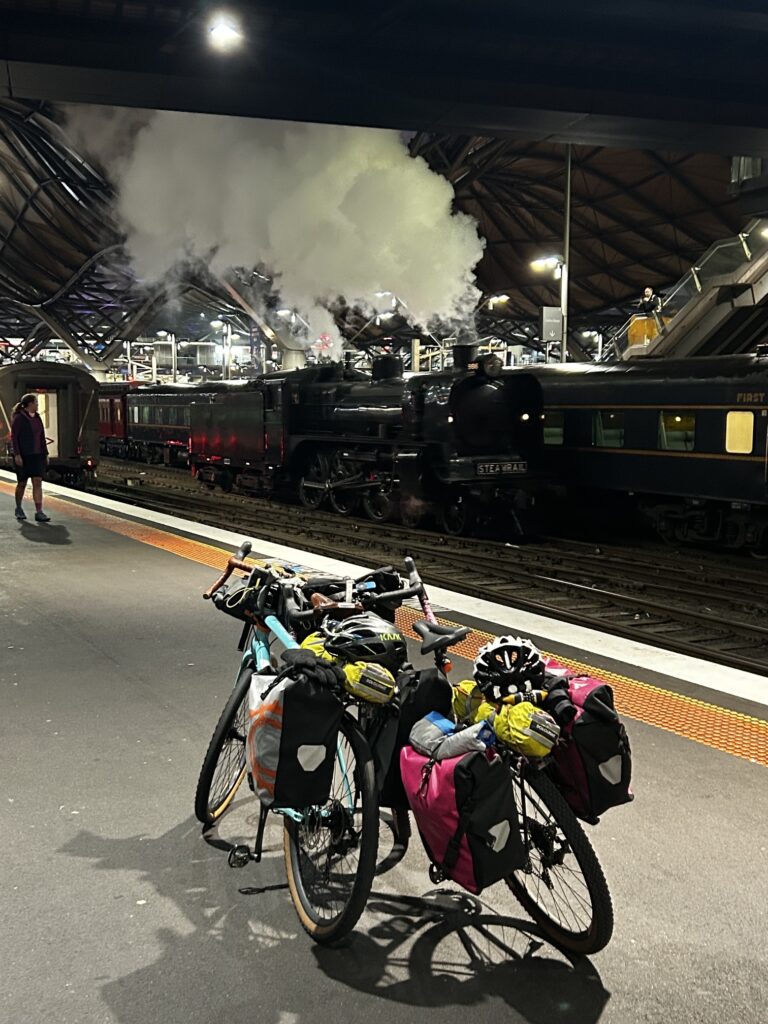
At Southern Cross Station, we had the unexpected bonus of seeing an old steam train preparing to travel to Tocumwal. It was a wonderful sight among the modern platforms and trains, and an unusual way to begin a bikepacking trip.
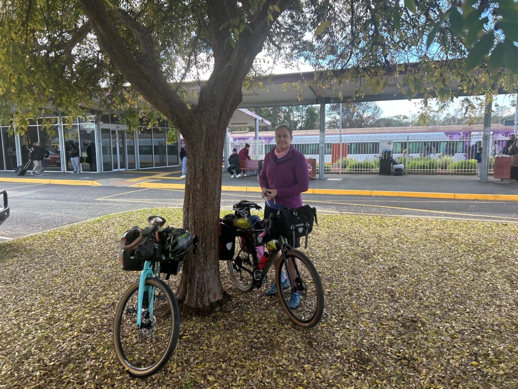
The train journey to Swan Hill took around four and a half hours, giving us time to settle properly into trip mode before the riding began.
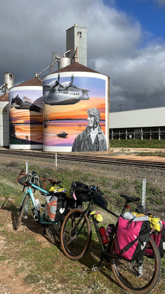
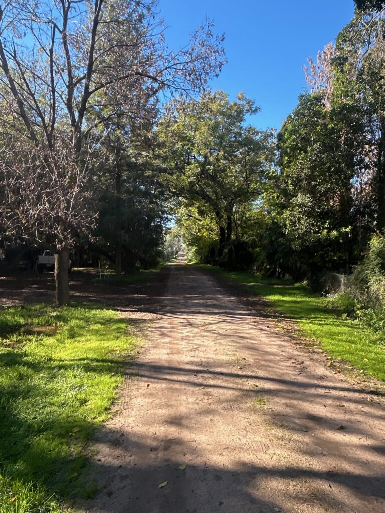
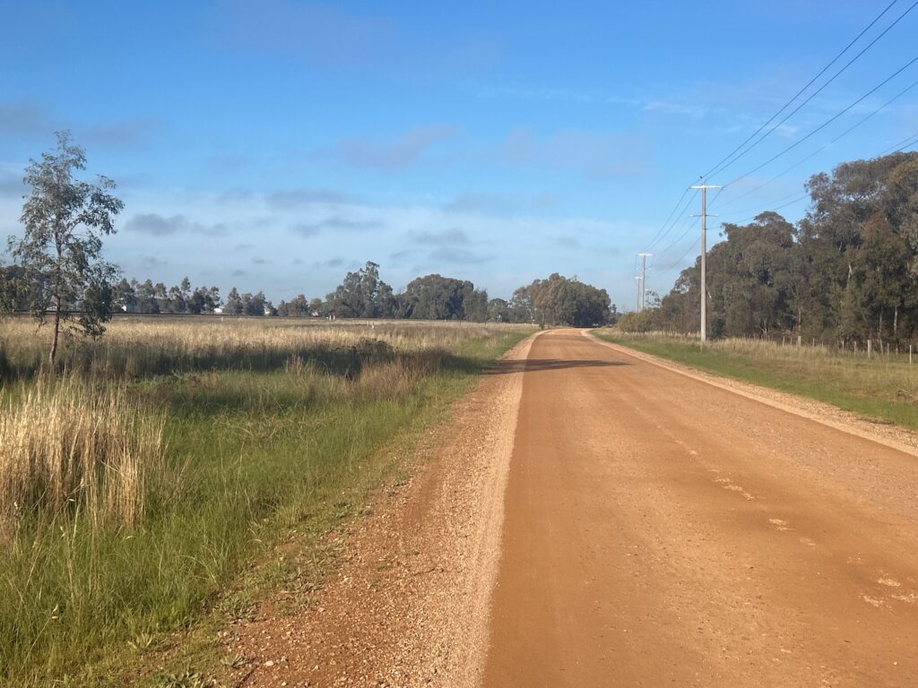
From Swan Hill, we followed the back roads past the airport and continued along Back Boga Road and Lake Road towards Lake Boga. Red dirt roads, patches of winter mud and orchards filled with mandarins and other fruit made for a memorable opening ride.
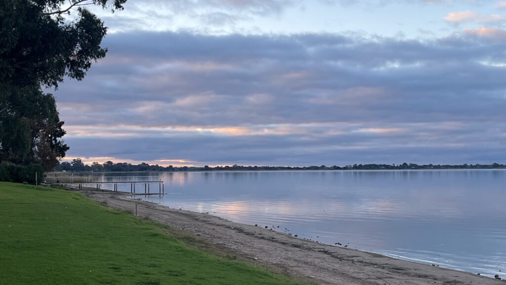
We reached Lake Boga Caravan Park and settled in for our first night on the road.
Accommodation
Lake Boga Caravan Park
Highlights
- Watching Queen Victoria Market come to life during the early ride into Melbourne
- The unexpected sight of a steam train at Southern Cross Station
- Beginning the trip on red dirt roads and through patches of winter mud
- Riding past orchards filled with mandarins and other fruit near Lake Boga
Day Two — Lake Boga to Lake Charm
Daily Overview – 35 kms
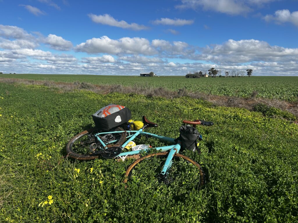
We rode from Lake Boga to Lake Charm, travelling through the broad agricultural country between the Murray Valley Highway and the Loddon and Murray river systems.
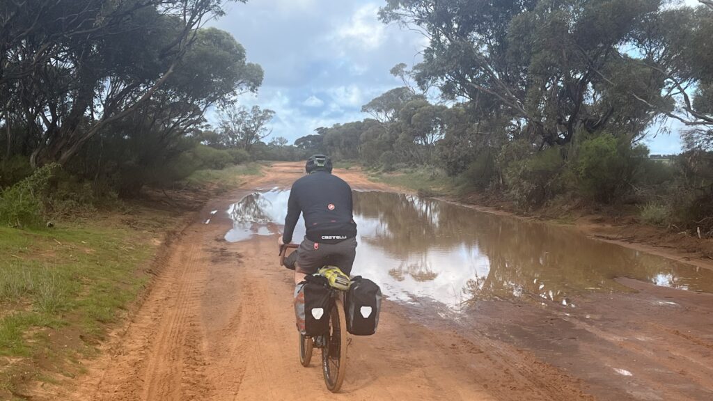
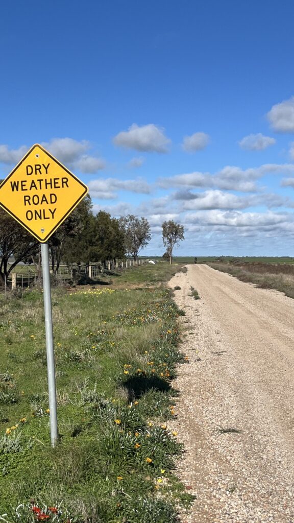
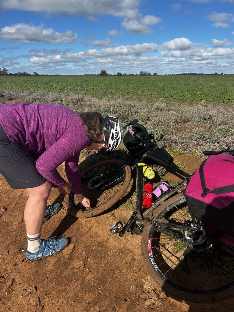
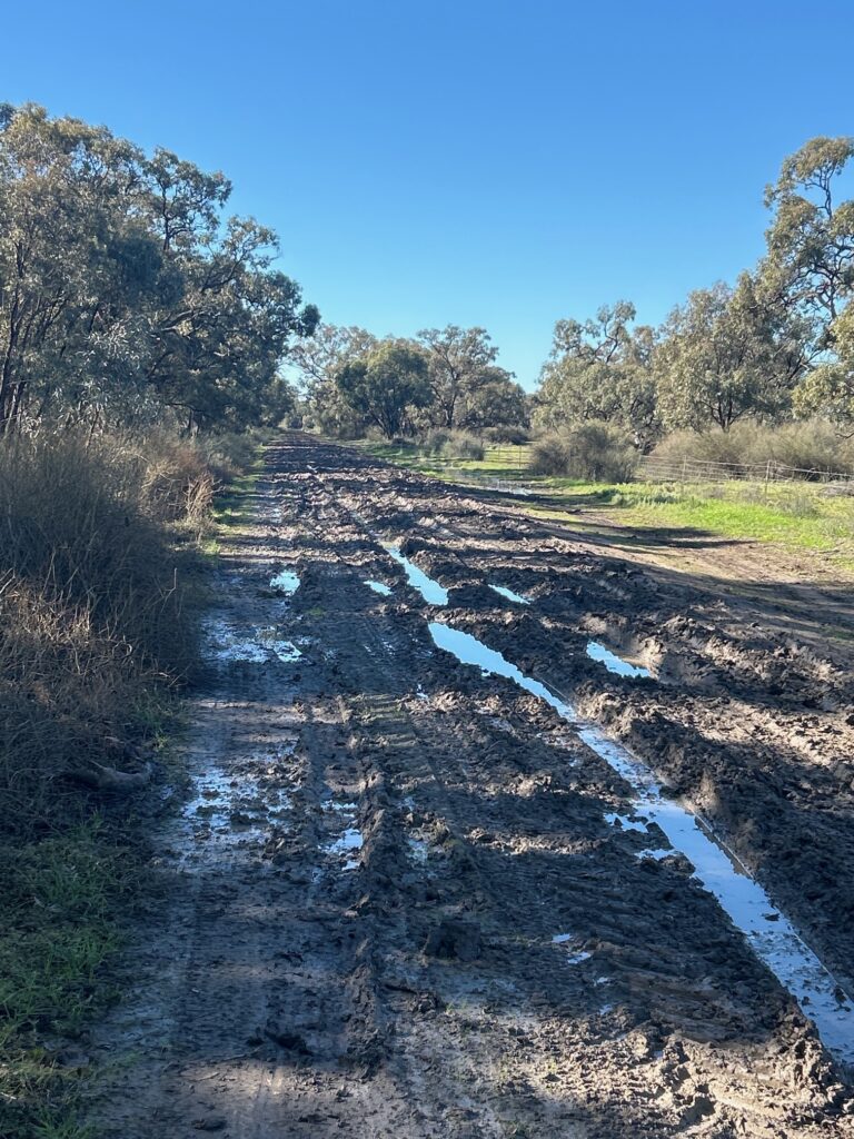
It was a tougher day than expected. Recent rain had transformed the red dirt roads into sticky, gluggy mud, making progress slow and difficult. At times, the bikes sank into the surface as we followed long, straight roads through flat farmland and past a series of lakes.
The open landscape made it easy to understand why this part of Victoria is considered an important food bowl. Irrigated farmland stretched across the plains, broken up by lakes, wetlands and irrigation channels.
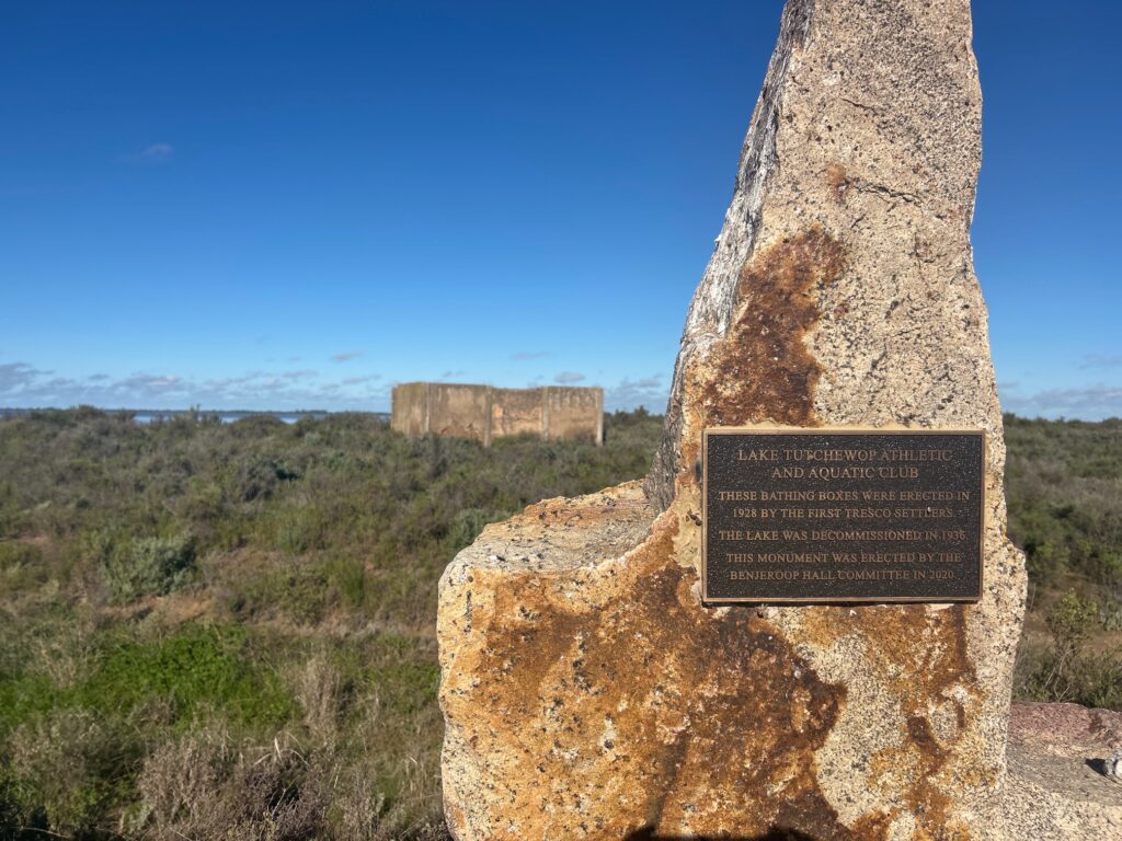
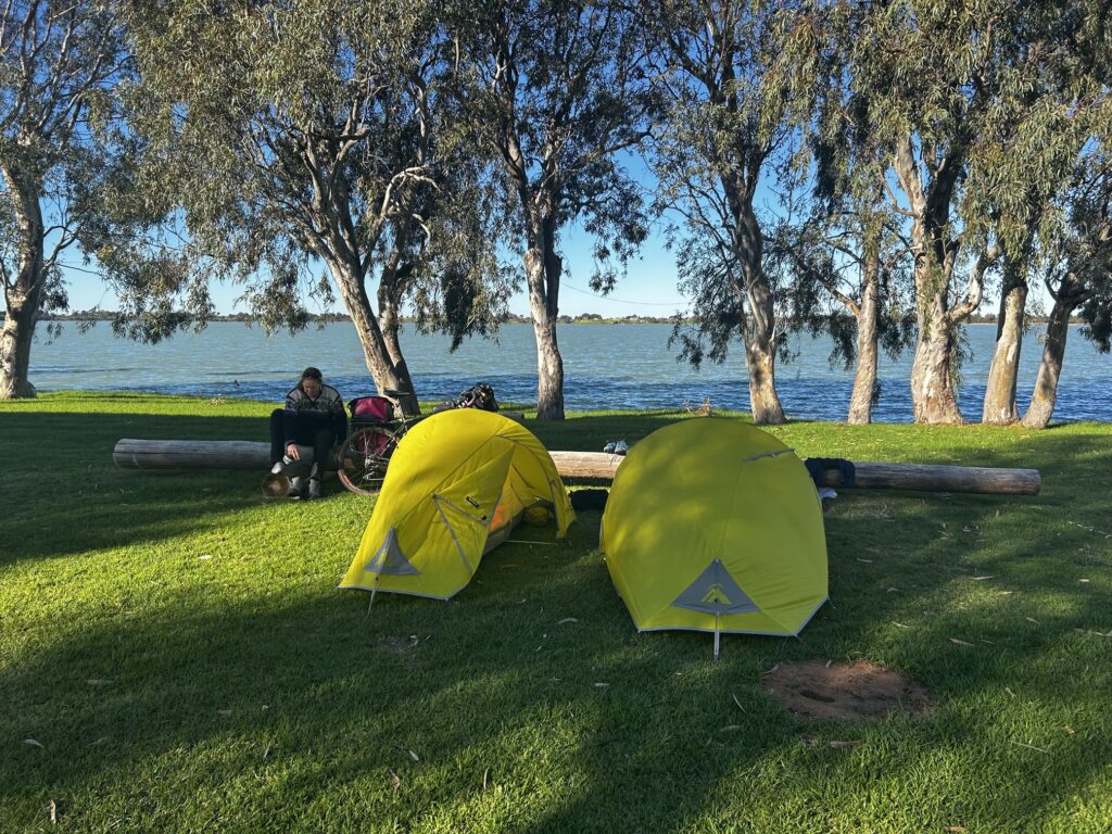
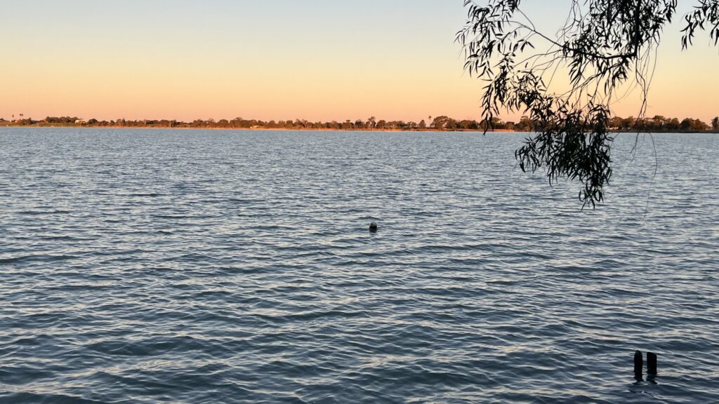
Janette suffered the first puncture of the trip, adding another delay to an already slow day. At the Lake Charm boat ramp, we took the opportunity to wash some of the accumulated mud and grit from the bikes.
The wet conditions also made us think carefully about the next few days. With Gunbower State Forest approaching, we began to wonder whether some sections of our planned route might need to change if the tracks remained this muddy.
Accommodation
Lake Charm Caravan Park
Highlights
- Discovering just how sticky and gluggy the rain-soaked red roads could become
- Janette getting the first puncture of the trip
- Watching the bikes sink into the muddy roads through Victoria’s food bowl
- Washing mud and grit from the bikes at the Lake Charm boat ramp
Day Three — Lake Charm to Koondrook
Daily Overview – 40 Kms
We woke at Lake Charm Caravan Park absolutely frozen, with the overnight temperature close to zero.
That experience immediately changed our accommodation plans for the rest of the journey. From here on, it would be old pubs, hotels and motel rooms rather than camping, although the camping food still had to be eaten.
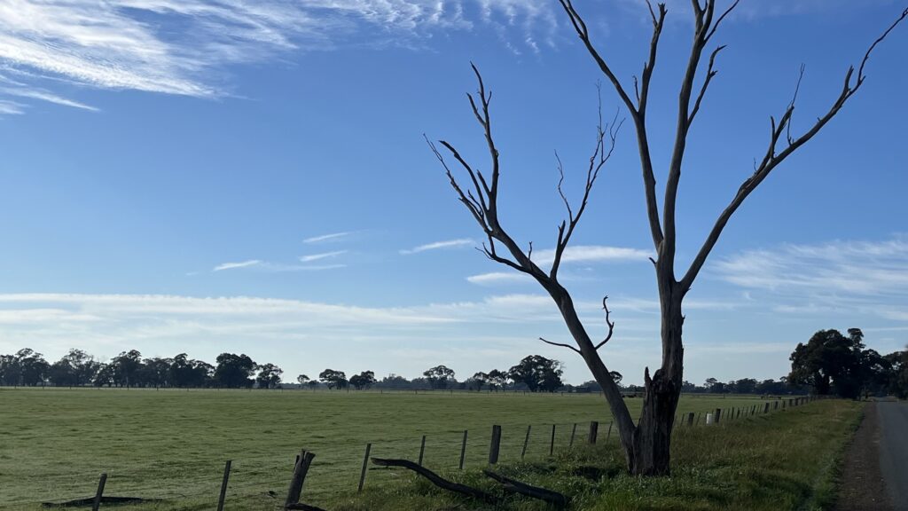
We rode back into the wetlands and headed towards Koondrook, pushing into a 15 to 20 kilometre-an-hour headwind for much of the day. Long, straight farm roads stretched ahead of us, and the persistent wind made every kilometre feel hard earned.
Stevenson Road became the day’s major challenge. It crossed low-lying, waterlogged country that looked on the map like a mixture of roads, rivers and lakes. Riding soon became pushing, with thick mud clogging the gears, tyres and wheel arches.
Near the Loddon River, we stopped with a local farmer, shared a cup of tea and watched bulls being rounded up by riders on motorbikes. It was one of those unplanned moments that became a lasting memory from the trip.
The Loddon River rises near Trentham in the Great Dividing Range and runs for almost 400 kilometres through central and northern Victoria before joining the Murray River system.
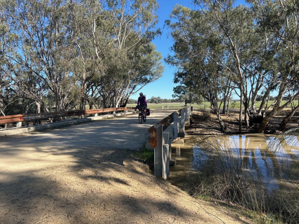
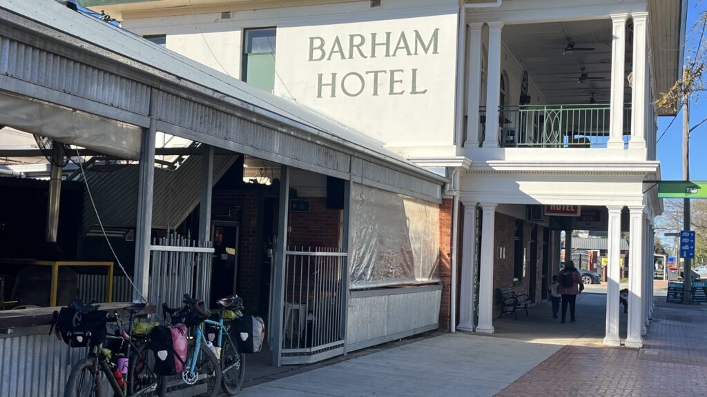
After tracking along and crossing the Loddon, we continued east on more long, straight roads. Just outside Koondrook, we crossed the Murray River into New South Wales for a beer at the Barham pub before returning to Victoria and reaching our accommodation. A hot shower and a thorough bike clean were very welcome. Dinner was butter chicken and rice from our camping food supplies
Accommodation
River Murray Motor Inn, Koondrook
Highlights
- Waking up absolutely frozen and immediately reconsidering our camping plans
- Sharing a cup of tea with a farmer while watching bulls being rounded up on motorbikes
- Pushing mud-clogged bikes along Stevenson Road
- Crossing into Barham for a well-earned beer before riding back to Koondrook
Day Four — Koondrook to Leitchville
Daily Overview
Leaving Koondrook, a town once connected to Kerang by the historic Kerang–Koondrook Tramway, we entered Gunbower State Forest.
Gunbower had always been expected to be one of the major highlights of the journey. We had tried to travel through the forest several times before, so it was satisfying to finally ride its tracks.
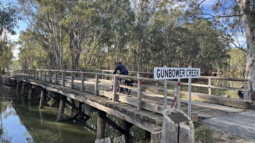
There had been concerns about the amount of water that had moved through the area, but most of the trails were in surprisingly good condition. Apart from a few flooded sections and some walk-arounds with the bikes, the riding was excellent.
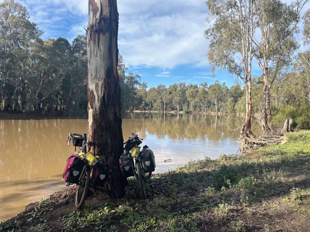
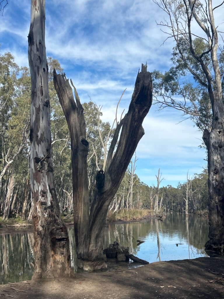
The route followed parts of the Murray River system, taking us past billabongs, back-river channels, wetlands and watercourses. Rising on the western side of the Australian Alps and travelling approximately 2,508 kilometres, the Murray is Australia’s longest single river.
Wildlife added to the experience, with kangaroos and several emu sightings through the forest.
We eventually left the forest and rode into Cohuna for lunch before returning to farmland and the long, straight roads leading towards Leitchville.
It was one of the best days of the journey and exactly the kind of riding we had hoped Gunbower would deliver.
Accommodation
Leitchville Hotel — double room with shared bathroom facilities
Highlights
- Finally riding through Gunbower State Forest after several previous attempts
- Navigating flooded sections and walking the bikes around waterlogged tracks
- Spotting kangaroos and several emus through the forest
- Emerging from the forest for lunch in Cohuna before tackling the long roads to Leitchville
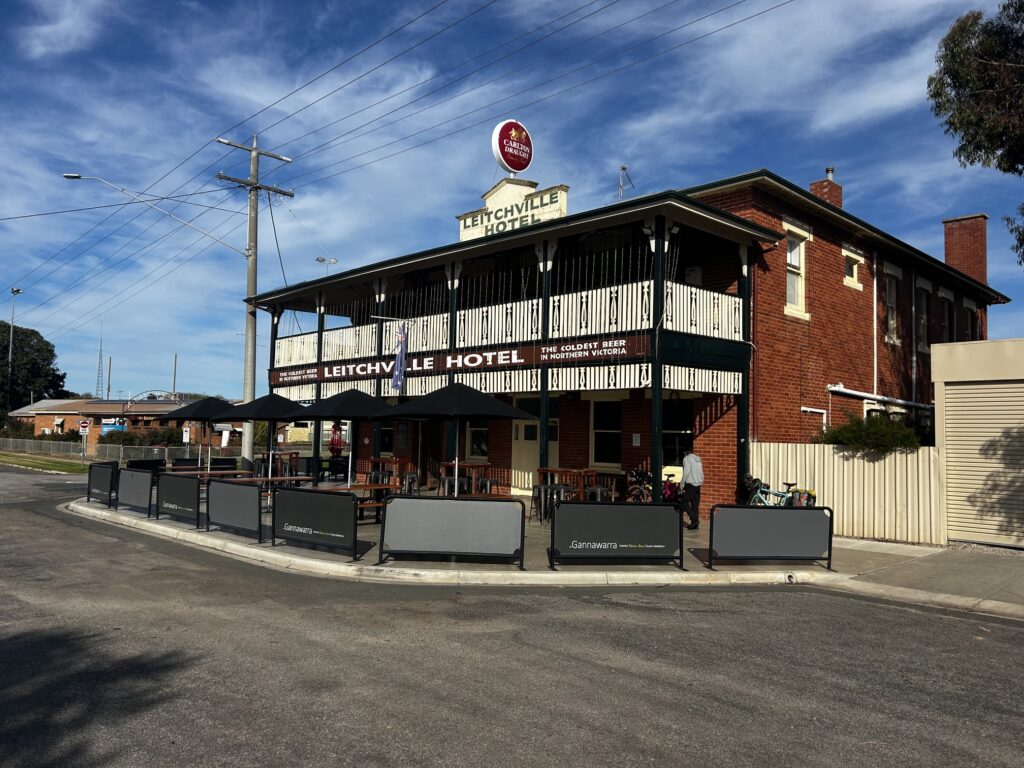
Day Five — Leitchville to Echuca
Daily Overview – 70 kms
What an epic day it turned out to be.
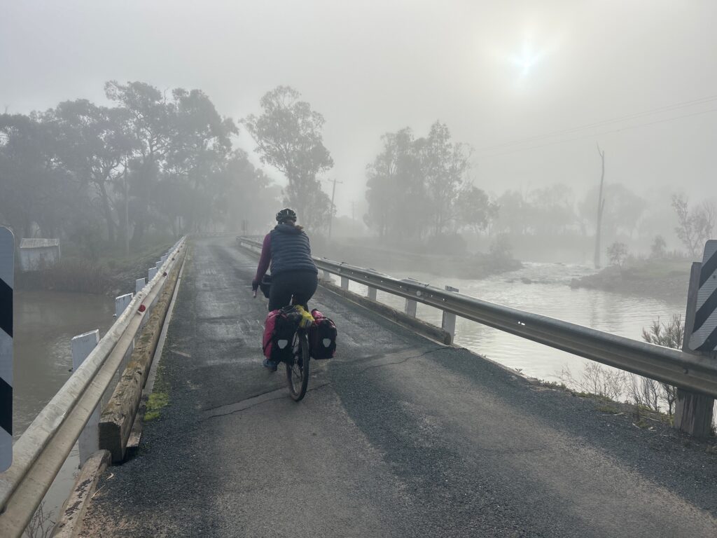
We left Leitchville in freezing fog, with no breakfast available, and once again avoided the Murray Valley Highway wherever possible because of the traffic and lack of shoulder.
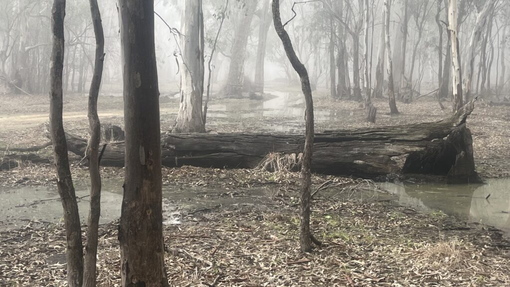
The early riding through the Gunbower wetlands was beautiful. It was cold, quiet, still and atmospheric, with a mixture of dirt, gravel and sealed roads.
We then attempted to enter another section of Gunbower State Forest. Once again, however, the forest beat us.
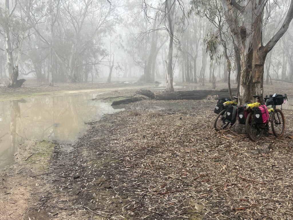
Floodwater blocked the tracks, and we lost almost two hours trying to find a way through. We navigated around flooded sections, walked through paddocks, retraced our route and searched for alternative tracks.
Eventually, we escaped onto farm roads churned up by cattle and recent rain. At one point, we had to walk directly through floodwater, leaving us with wet socks and freezing feet for the rest of the day.
After crossing the Murray Valley Highway, we entered the long, straight pasture roads to the south. Janette broke up the boredom by counting the white road lines and calculated that we were passing approximately 500 every half hour.
From there, we pushed on towards Echuca.
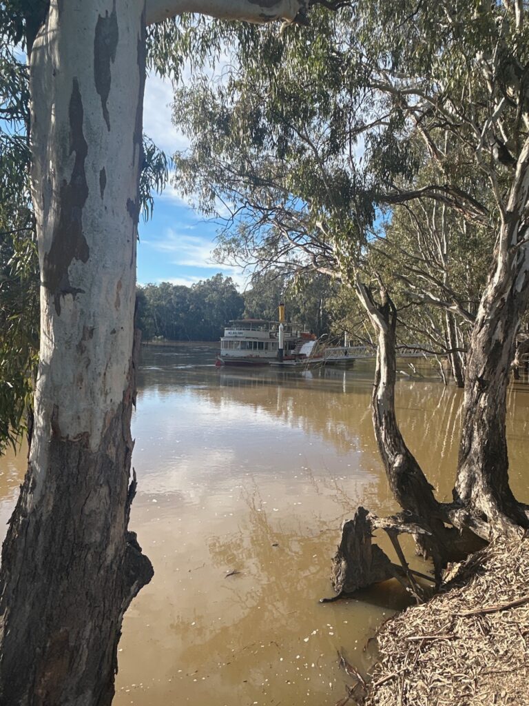
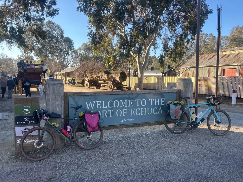
Arriving in the regional centre of Echuca after days among small towns, forests and farmland was welcome. Once one of the great inland river ports of the Murray, Echuca continues to build much of its economy around its river history. Paddle steamers, tourism, accommodation, hospitality and retail remain closely connected to the old port precinct and the Murray River.
It was a sharp contrast to the silent pasture roads we had travelled through all afternoon.
After a very tough and cold day on the bike, the extremely hot shower at the American Hotel was one of the true highlights of the trip.
Accommodation
American Hotel, Echuca
Highlights
- Leaving Leitchville in freezing fog without breakfast
- Spending almost two hours trying, and failing, to find a way through the flooded forest
- Janette counting approximately 500 white road lines every half hour to relieve the boredom
- Reaching the American Hotel and enjoying one of the hottest showers of the trip
Day Six — Echuca to Elmore
Daily Overview – 50 kms
Day six began with breakfast in Echuca before a 9 o’clock start.
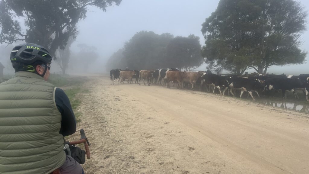
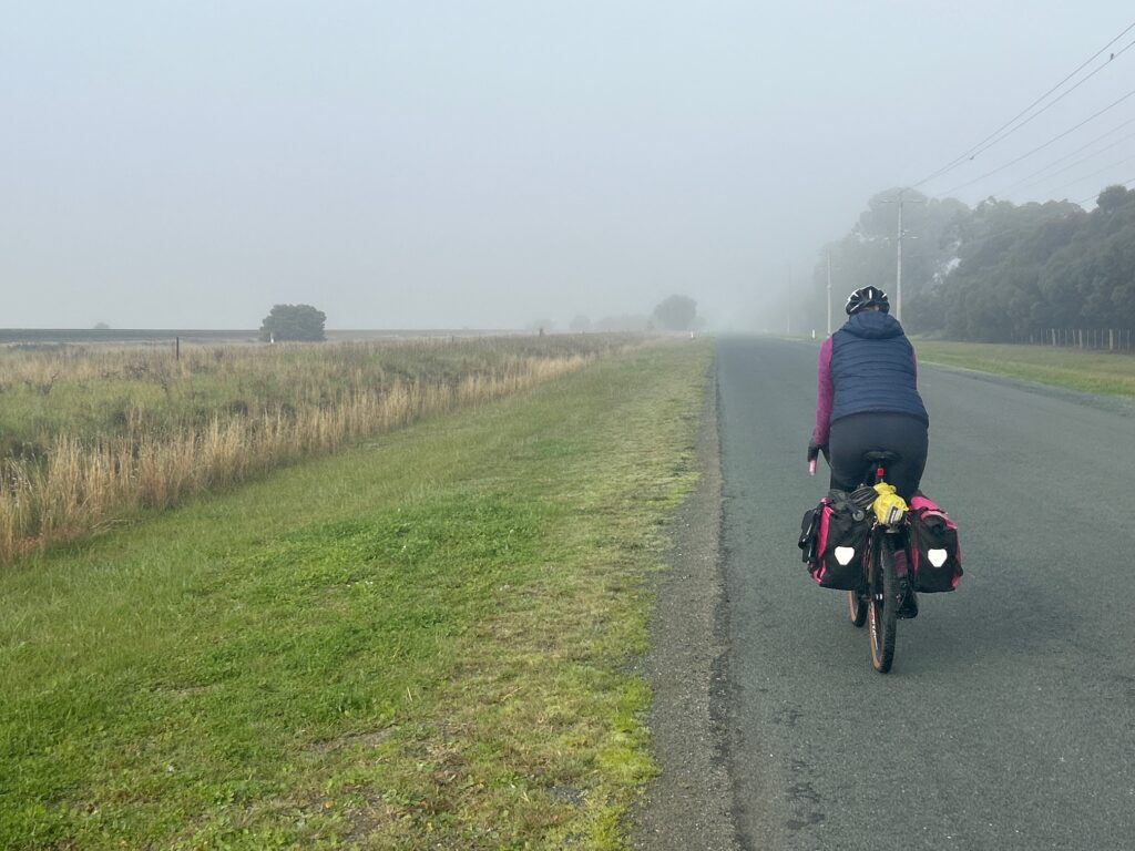
We rolled out of town once again in thick fog, following quiet dirt roads beside the railway line heading towards Melbourne. The morning was cold and still, with the fog creating a distinctly midwinter atmosphere.
Not far from Rochester, the dirt roads gave way to tarmac. With the change in road surface came a complete change in the weather. The fog lifted, the sky opened into a lovely blue, and the sunshine stayed with us for the rest of the ride.
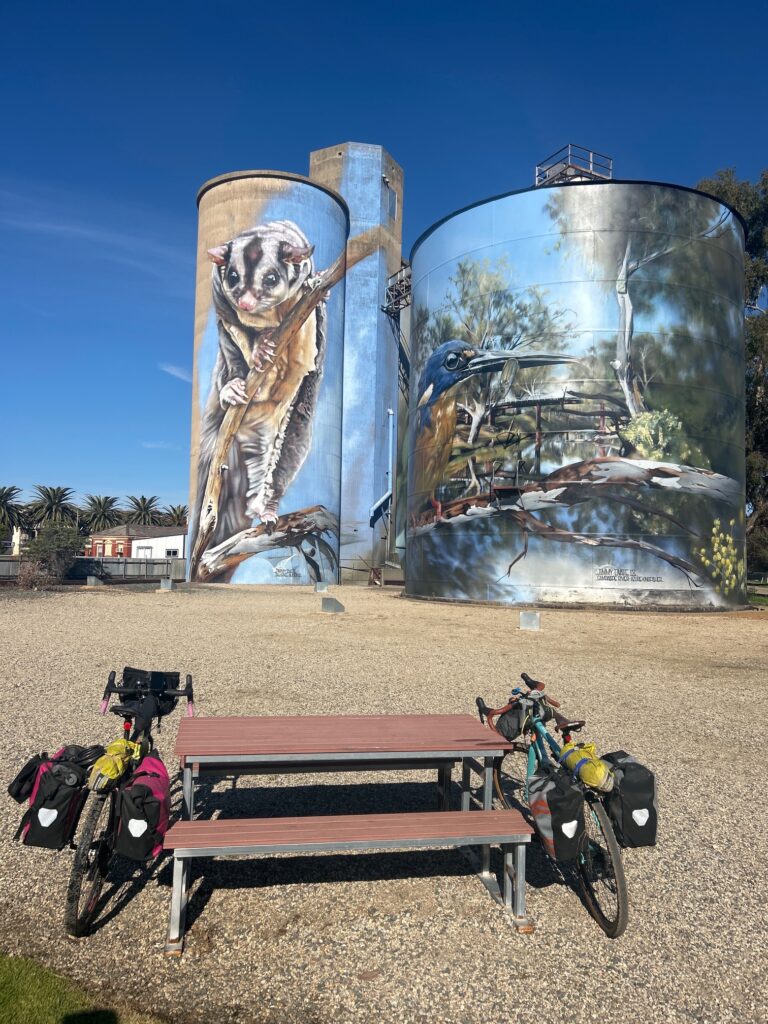
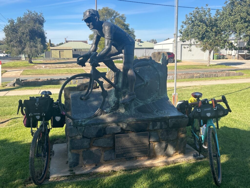
In Rochester, we stopped for lunch, viewed the town’s silo art and took a photograph beside the statue of Sir Hubert ‘Oppy’ Opperman.
Born in Rochester, Oppy became one of Australia’s greatest endurance cyclists and was among the first Australians to compete in the Tour de France.
From Rochester, we continued south along back roads through the Campaspe River country.
The Campaspe rises on the northern slopes of the Great Dividing Range, flows through Lake Eppalock, Elmore and Rochester, and eventually meets the Murray River near Echuca.
Best of all, as we entered Elmore, we finally picked up our first tailwind in five days. It was a very welcome change after repeatedly pushing into fog, wind and difficult weather.
Elmore began as a small settlement beside the Campaspe River in the 1840s, servicing the surrounding pastoral properties. The township was established in 1864 and was originally known as Runnymede before later becoming Elmore.
Like many towns in northern Victoria, its development was closely connected to the river, railway and surrounding farming country.
Accommodation
Hotel Victoria, Elmore
Highlights
- Riding out of Echuca through thick fog on quiet dirt roads beside the railway
- Watching the fog disappear and blue skies arrive as the roads turned to tarmac
- Posing beside the statue of cycling legend Sir Hubert ‘Oppy’ Opperman in Rochester
- Finally enjoying our first tailwind in five days as we entered Elmore
Day Seven — Elmore to Bendigo
Daily Overview – 54 kms
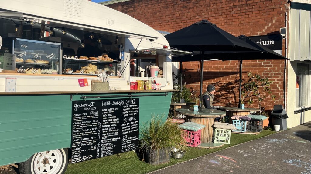
Our final day began with breakfast at the Molly and Max coffee van in Elmore, a lovely little establishment run by two friendly women.
Coffee and a toasted sandwich provided the perfect start before we headed out of town.
We returned to the back roads, following the Campaspe River as closely as possible. Some roads looked quiet on the map but still carried 100-kilometre-an-hour speed limits and more local and through traffic than we had expected.
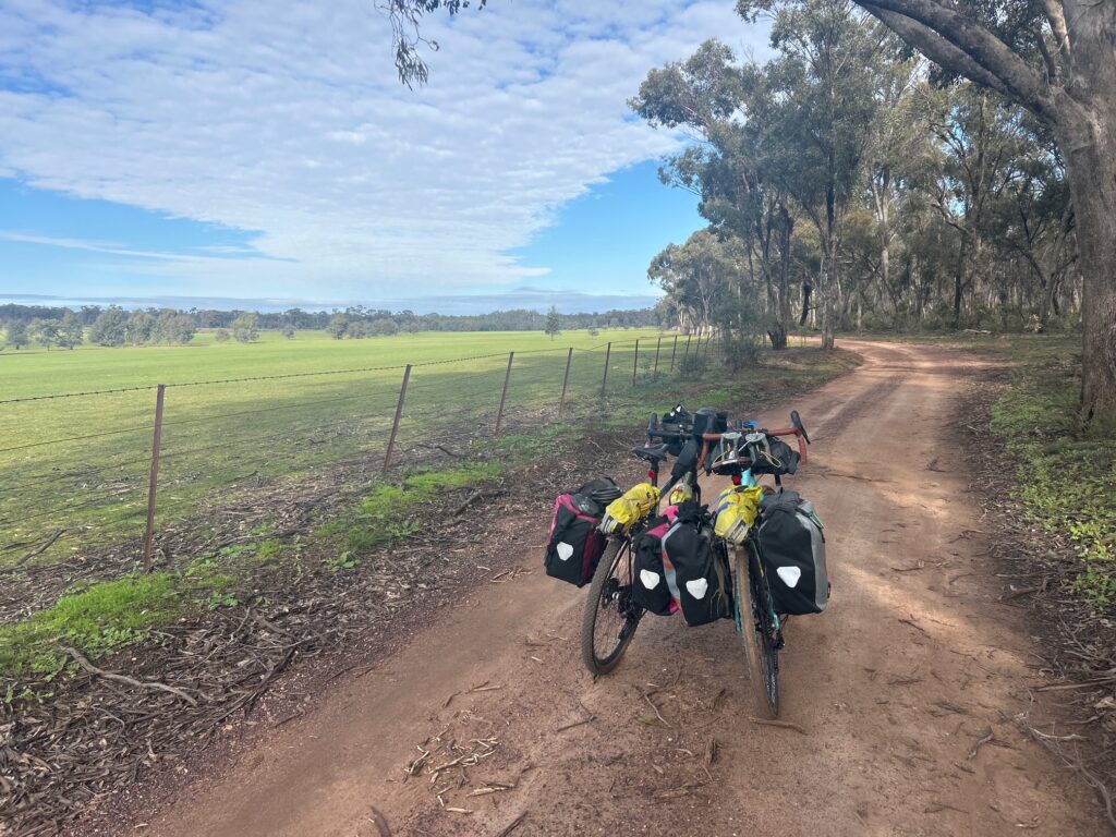
After approximately 25 kilometres, we left the traffic behind and entered Wellsford State Forest, the highlight of the day.
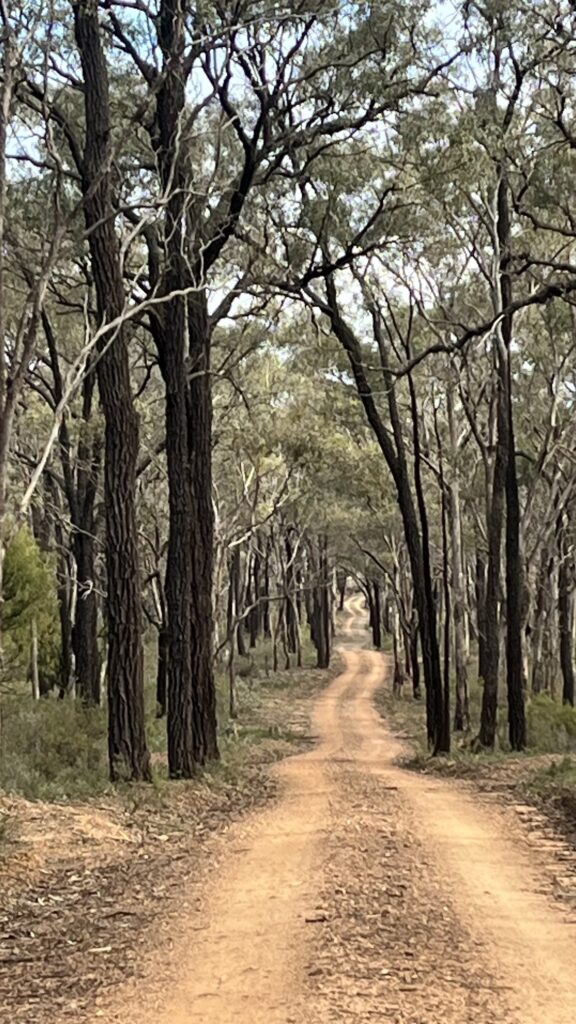
It was a fantastic ride beneath clear blue skies, following quiet gravel and red dirt tracks through the forest. Quartz was clearly visible throughout the surrounding terrain, adding to the character of this memorable section.
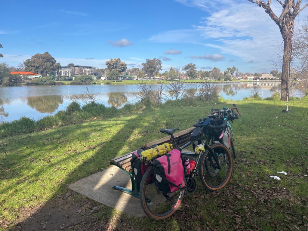
After leaving the forest and closing in on Bendigo, we joined the O’Keefe Rail Trail for the final ride into the city, passing lakes, parkland and botanical gardens along the way.
A well-earned celebratory beer at the Rifle Brigade Hotel followed before we made our way to the Wine Bank on View.
The Wine Bank occupies a heritage-listed Victorian bank building constructed in 1876 for the Union Bank. The building later housed the Bank of Australasia and ANZ before being transformed into a wine bar, restaurant, wine merchant and accommodation venue.
With its charming maisonette accommodation, historic rooms, impressive wine cellar and excellent food, the Wine Bank was another highlight of the day.
It was a fitting place to celebrate the end of seven memorable days on the road.
Accommodation
The Wine Bank on View, Bendigo
Highlights
- Starting the final day with coffee and a toasted sandwich at the Molly and Max coffee van
- Escaping the faster back-road traffic and entering the peaceful Wellsford State Forest
- Celebrating our arrival in Bendigo with a beer at the Rifle Brigade Hotel
- Finishing the journey with excellent food, wine and historic accommodation at the Wine Bank
Journey Summary and Learnings
Over seven days, we travelled approximately 331 kilometres by bike, linking the river country around Swan Hill and Echuca with the forests and goldfields landscape near Bendigo.
The ride began as an alternative to our postponed New Zealand North Island journey, but quickly became an adventure in its own right. Freezing mornings, fog, mud, floodwater and headwinds tested us, while Gunbower and Wellsford state forests, wildlife, old country towns and small encounters along the way provided the rewards.
The main lesson was the importance of flexibility. Routes, weather and accommodation plans all changed as the journey unfolded. We learned that winter kilometres are harder earned, food and warm accommodation cannot be taken for granted, and roads that look quiet on a map are not always comfortable to ride.
Most of all, the trip reminded us that unexpected changes can lead to memorable journeys. What began as a substitute for New Zealand became seven days shaped by resilience, humour, improvisation and another shared adventure on two wheels.